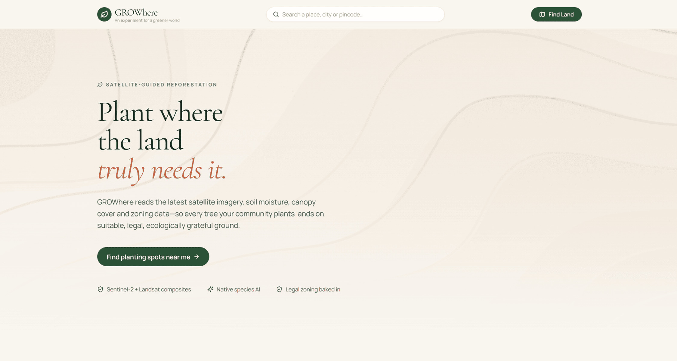
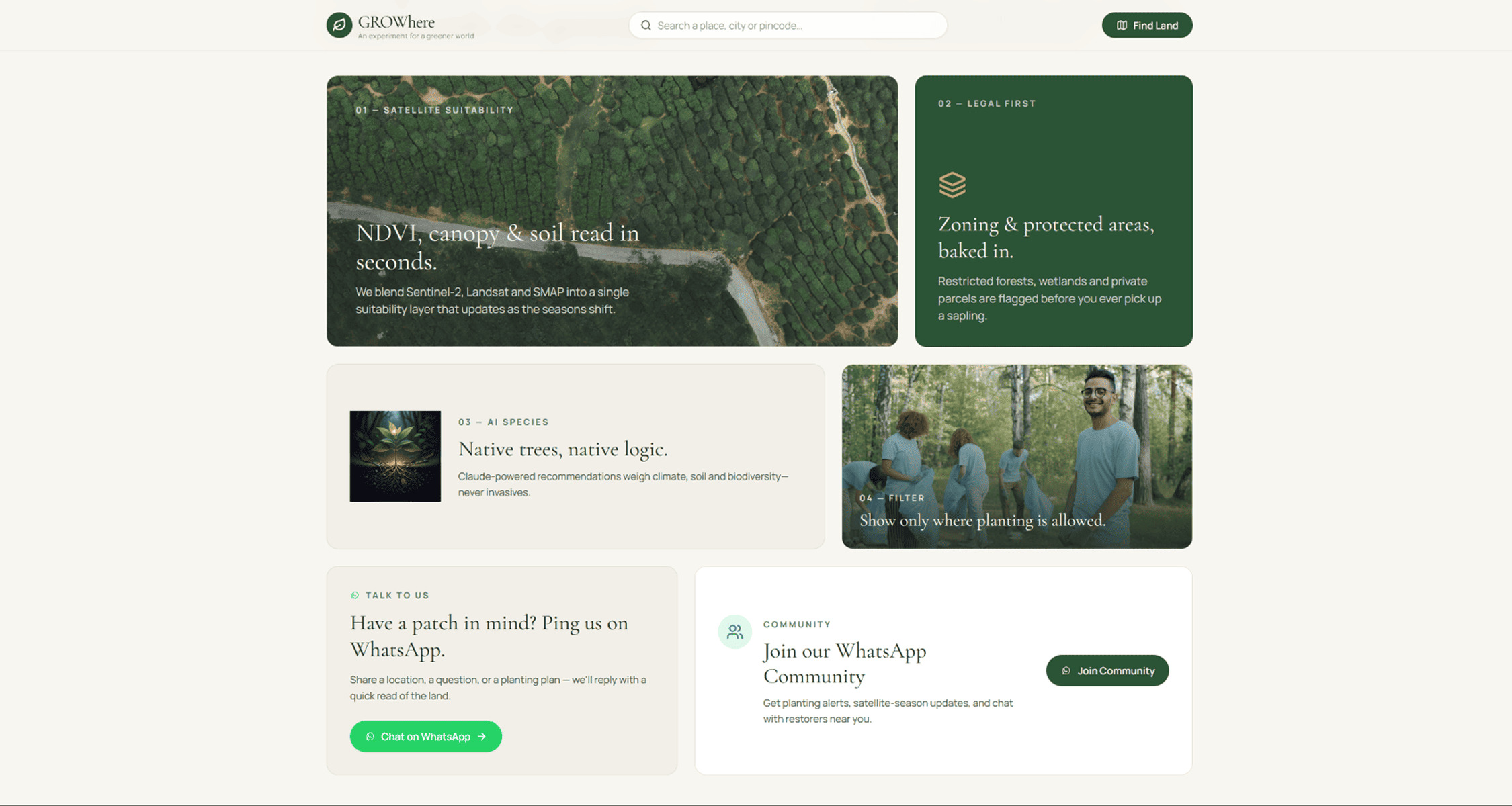
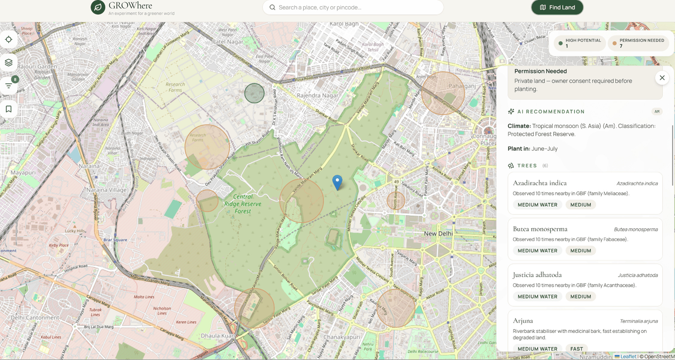
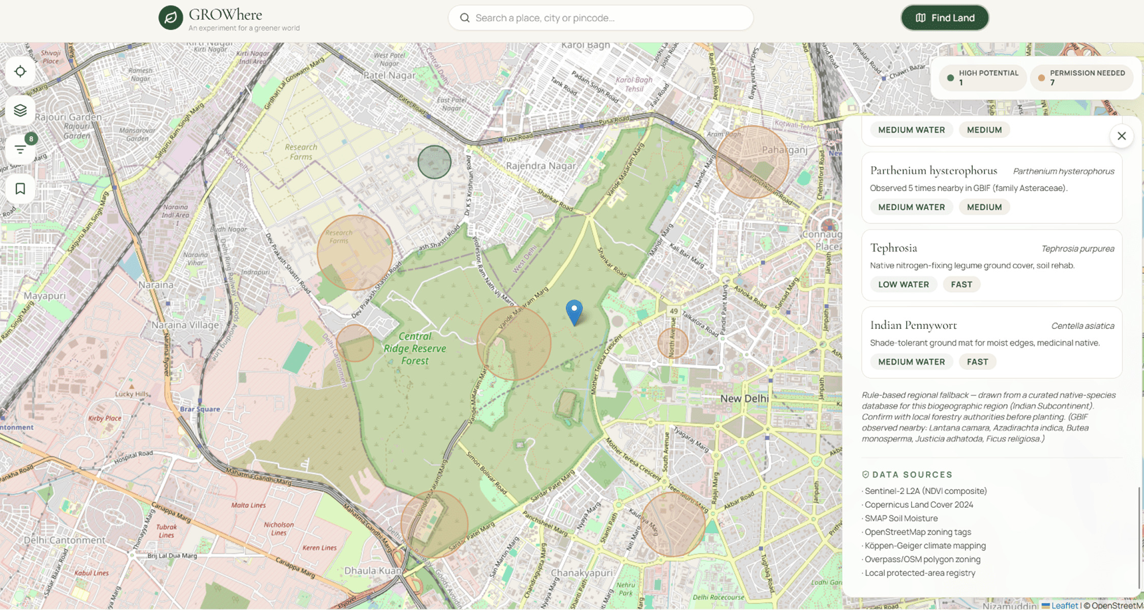
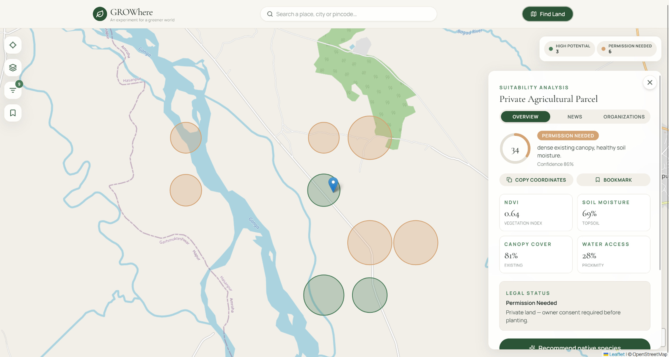
We layered Sentinel-2 imagery, SMAP soil moisture, Copernicus land cover, and zoning data to score any clicked location in real time, but the scoring is only half the story. It tells you what kind of tree actually belongs there (no one's planting a mango tree in Jammu and Kashmir), which local NGOs are already working in that area, and what's happening on the ground right now, because a plantation site means nothing if a highway project is about to clear it. It's not just "can I plant here." It's "should I, right now, given everything happening around this piece of land."
We layered Sentinel-2 imagery, SMAP soil moisture, Copernicus land cover, and zoning data to score any clicked location in real time, but the scoring is only half the story. It tells you what kind of tree actually belongs there (no one's planting a mango tree in Jammu and Kashmir), which local NGOs are already working in that area, and what's happening on the ground right now, because a plantation site means nothing if a highway project is about to clear it. It's not just "can I plant here." It's "should I, right now, given everything happening around this piece of land."